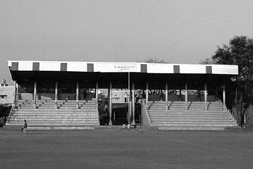
About Gundlupet

Gundlupet or Gundlupete in Kannada is a town in the Chamarajanagar district of the Indian also called as Flower pot of Karnataka. This small town is about 56 km from the Mysore-Ooty / Mysore-Calicut NH 212 highway and about 200 km from Bangalore, the state capital. Gundlupet is the last town in Karnataka en route to Ooty, Wayanad, Kozhikode, situated very close to Tamil Nadu and Kerala state borders. National Highway -67 ( NH-67 ) starts from Gundlupete and ends in Nagapattinam in Tamil Nadu via Ooty and Coimbatore. The Bandipur National Park Forest Office is 17 km from Gundlupet. Previously this town was known as "Vijayapura" which got its name from the historical Vijayanarayana temple. Gundlupet is located at 11.8°N 76.68°E. It has an average elevation of 816 metres (2677 feet). The natural vegetation of the area is Dry Thorn Forest.
Source: Wikipedia